Global Irrigation Map
Predicting worldwide extent of irrigation for agriculture
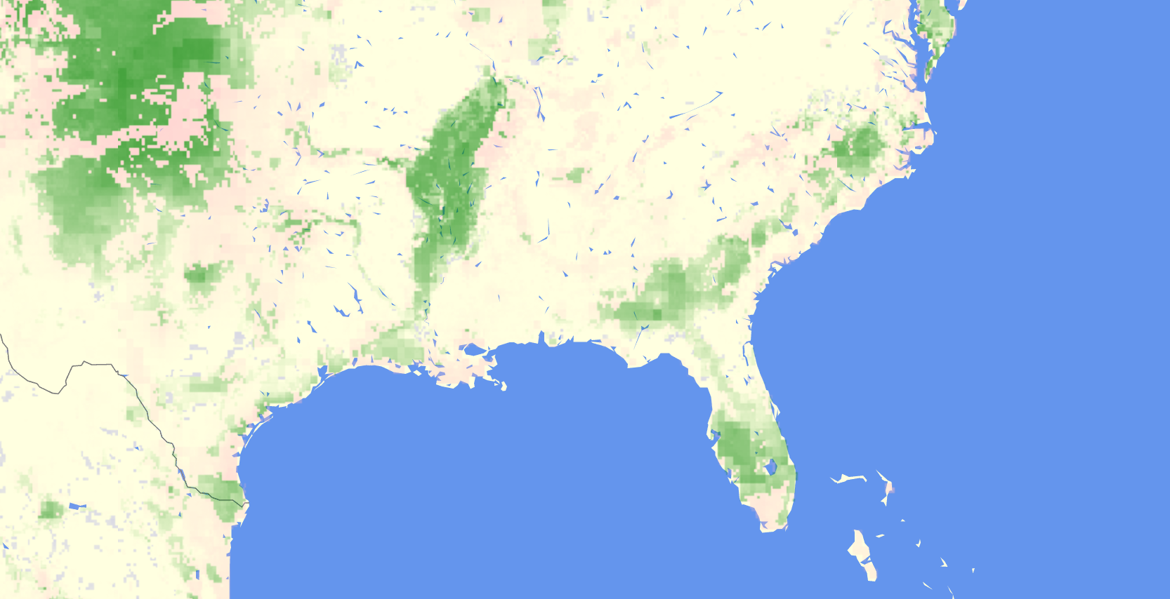
Interactive and zoomable
You can zoom in to any region of interest
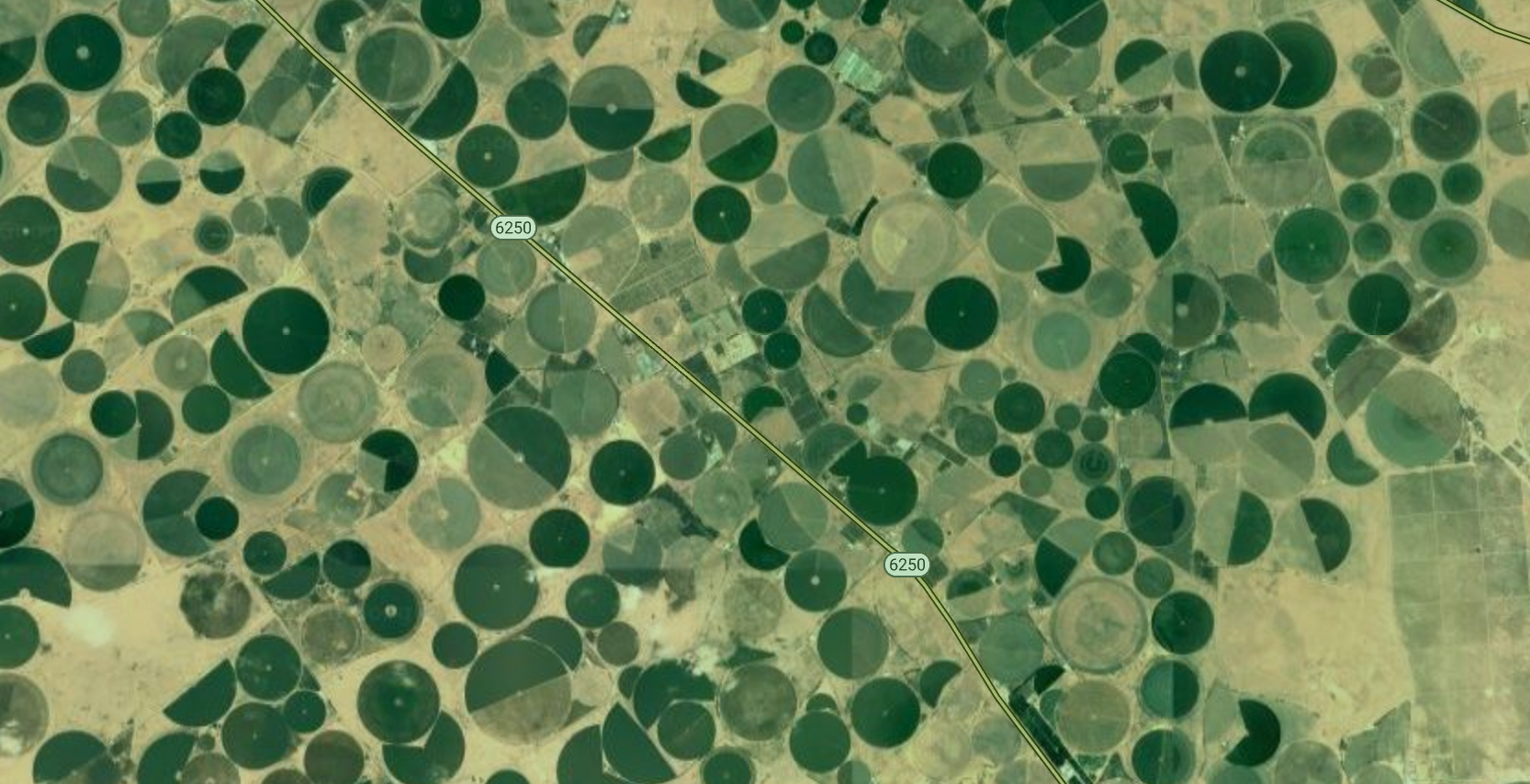
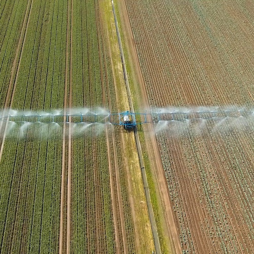
Farming in Arabia
Model detected pivot irrigation in the middle of desert
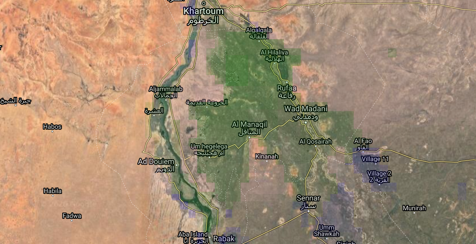
Irrigation in sub-Saharan Africa
This is a patch of green in Sudan
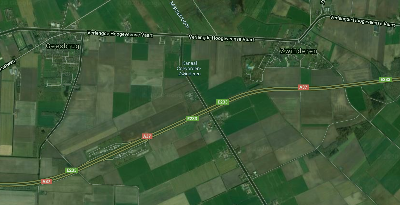
Irrigated farmland in Europe
Note the irrigation canal in the middle